30
Servizi in cloud per i big data satellitari : nuovi modelli di business Massimo Zotti, Planetek Italia s.r.l. June 20, 2016 PK01-528-415
| Date post: | 09-Jan-2017 |
| Category: |
Internet |
| Upload: | giovanni-biallo |
| View: | 110 times |
| Download: | 2 times |
Servizi in cloud
per i big data satellitari :
nuovi modelli di business
Massimo Zotti, Planetek Italia s.r.l.
June 20, 2016
PK
01-5
28-4
15
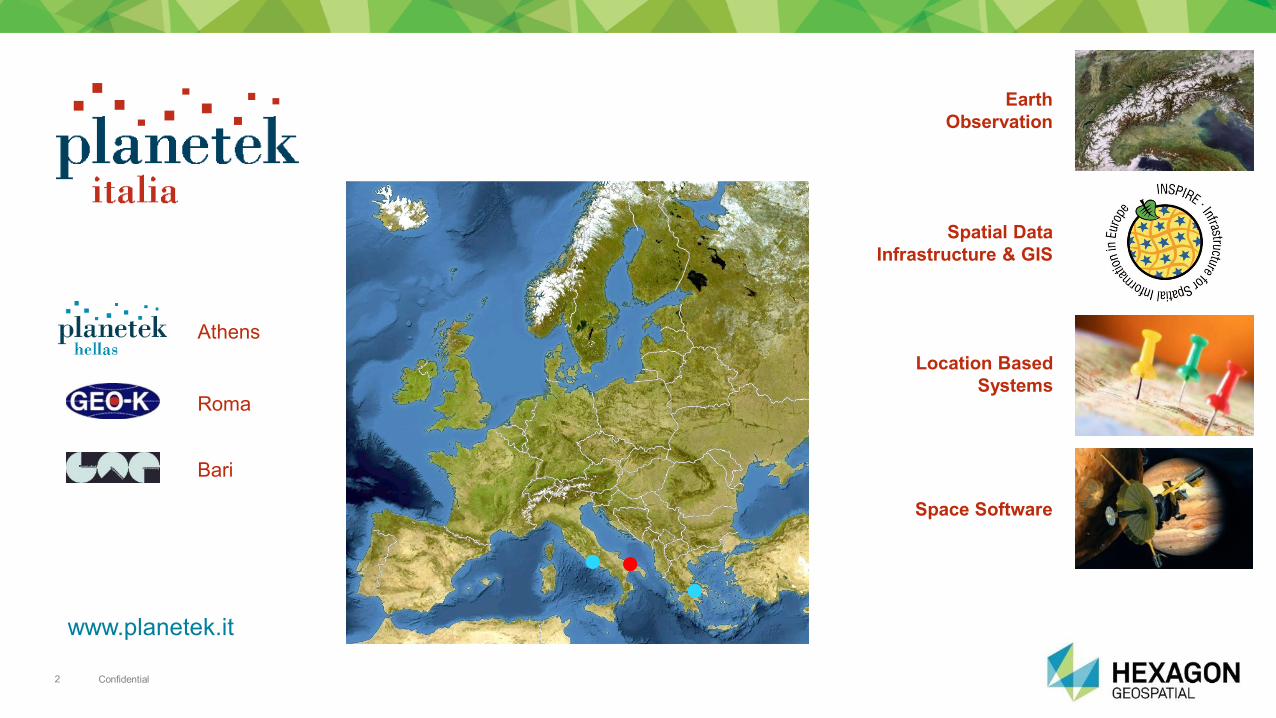
Confidential 2
Earth
Observation
Spatial Data
Infrastructure & GIS
Location Based
Systems
Space Software
Roma
Bari
Athens
www.planetek.it
Confidential 3
1. Business Problem:
Dynamic Monitoring of Changes
2. Eyes in the Sky: the Sentinels
3. Information Services for
the Monitoring of Changes
a) Burn Area Detection and Monitoring
b) “Fire Mapper” Smart M.App
4. Design Meets Dynamic Communication
a) Terrain Displacement Analysis
b) Satellite Displacement Monitoring
5. Q&A
6. Conclusions
Agenda
Confidential 4
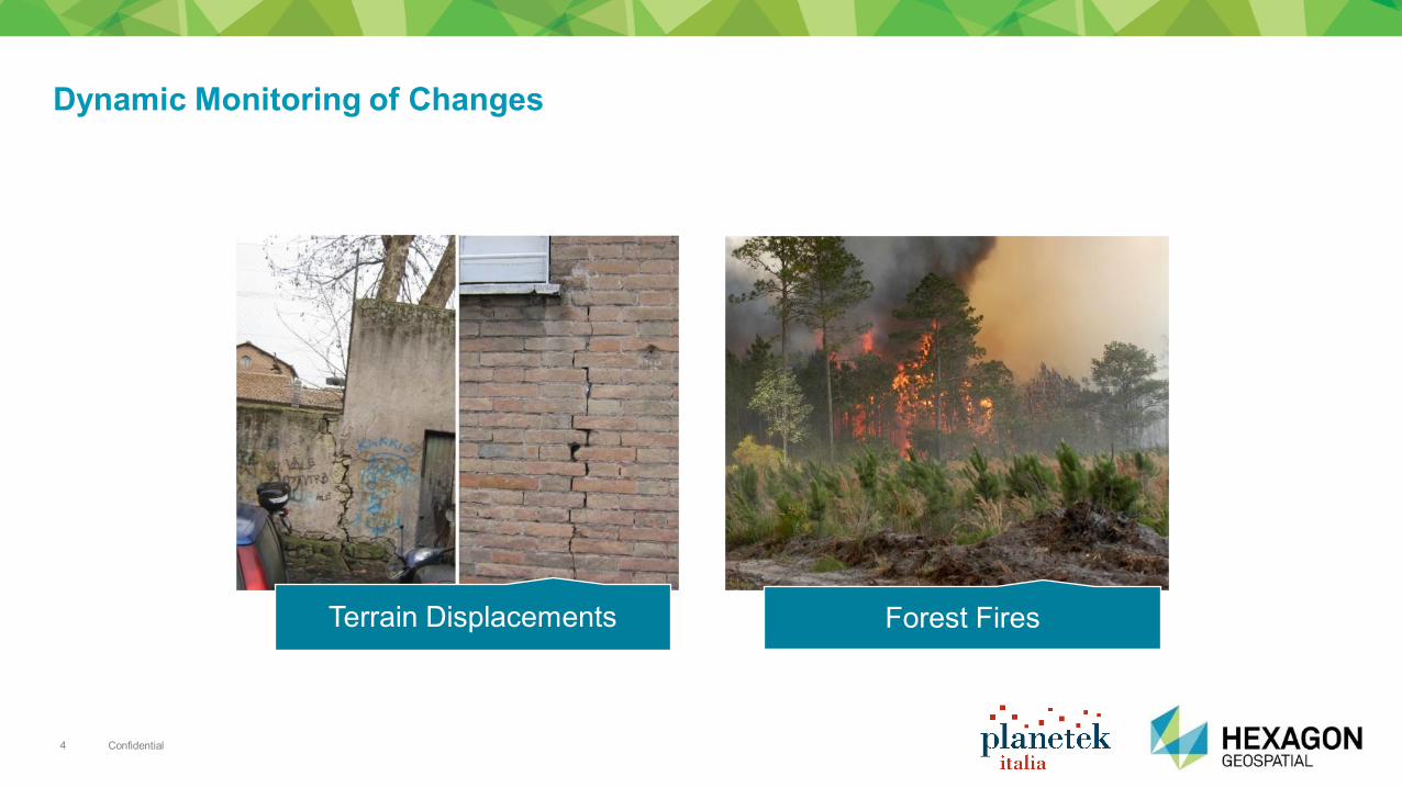
Dynamic Monitoring of Changes
Terrain Displacements Forest Fires
Confidential 5
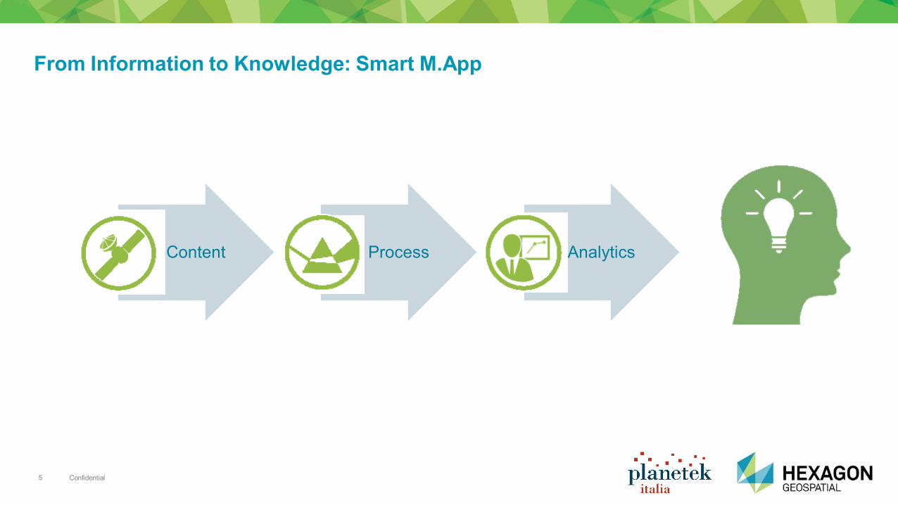
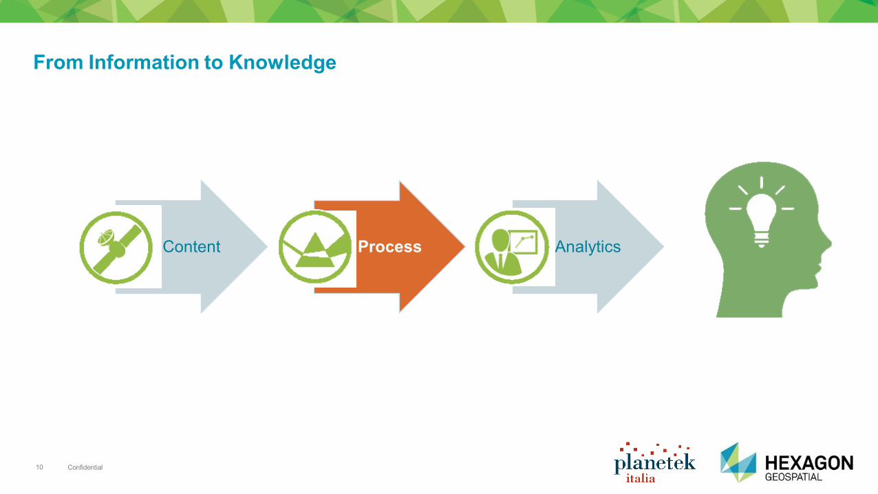
Content Process Analytics
From Information to Knowledge: Smart M.App
Confidential 6
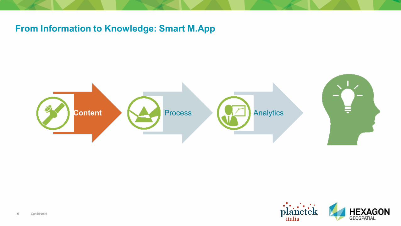
Content Process Analytics
From Information to Knowledge: Smart M.App

Confidential 7
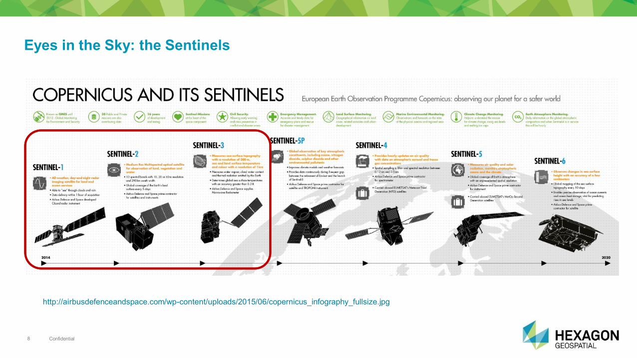
Eyes in the Sky: the Sentinels
Confidential 8
Eyes in the Sky: the Sentinels
http://airbusdefenceandspace.com/wp-content/uploads/2015/06/copernicus_infography_fullsize.jpg
Confidential 9
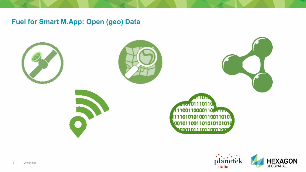
Fuel for Smart M.App: Open (geo) Data
Confidential 10
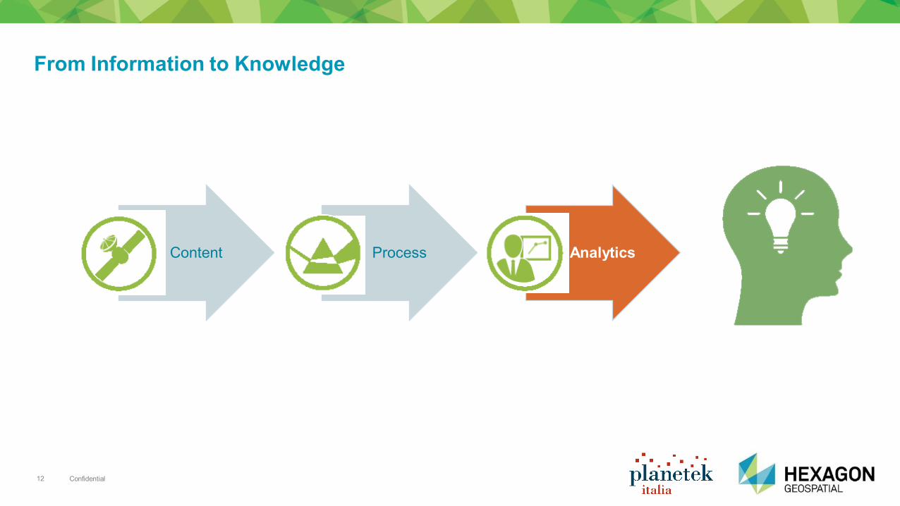
Content Process Analytics
From Information to Knowledge
Confidential 11
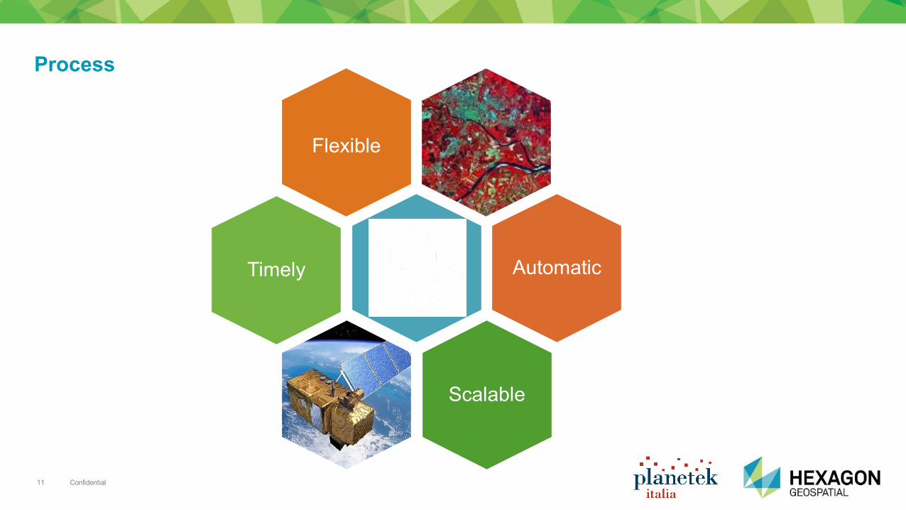
Process
Timely Automatic
Scalable
Flexible
Confidential 12
Content Process Analytics
From Information to Knowledge

Confidential 13
Towards Knowledge
Source: marketingland.com
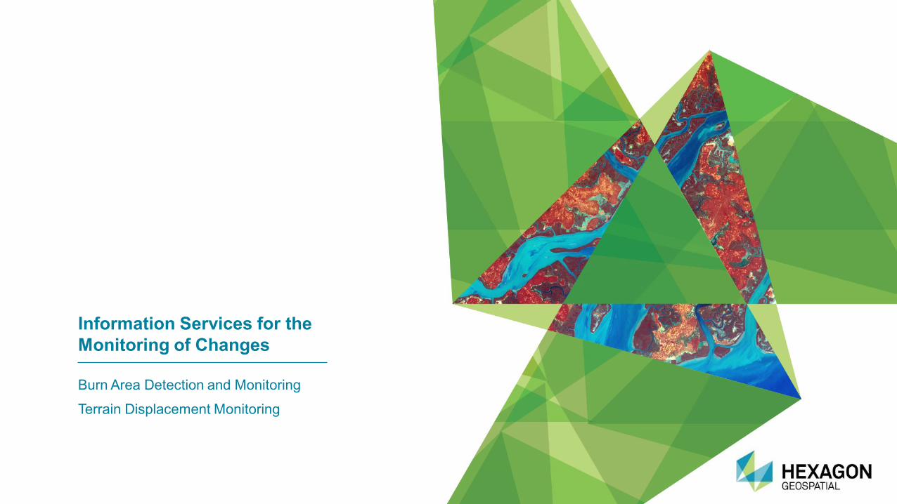
Information Services for the
Monitoring of Changes
Burn Area Detection and Monitoring
Terrain Displacement Monitoring
Confidential 15
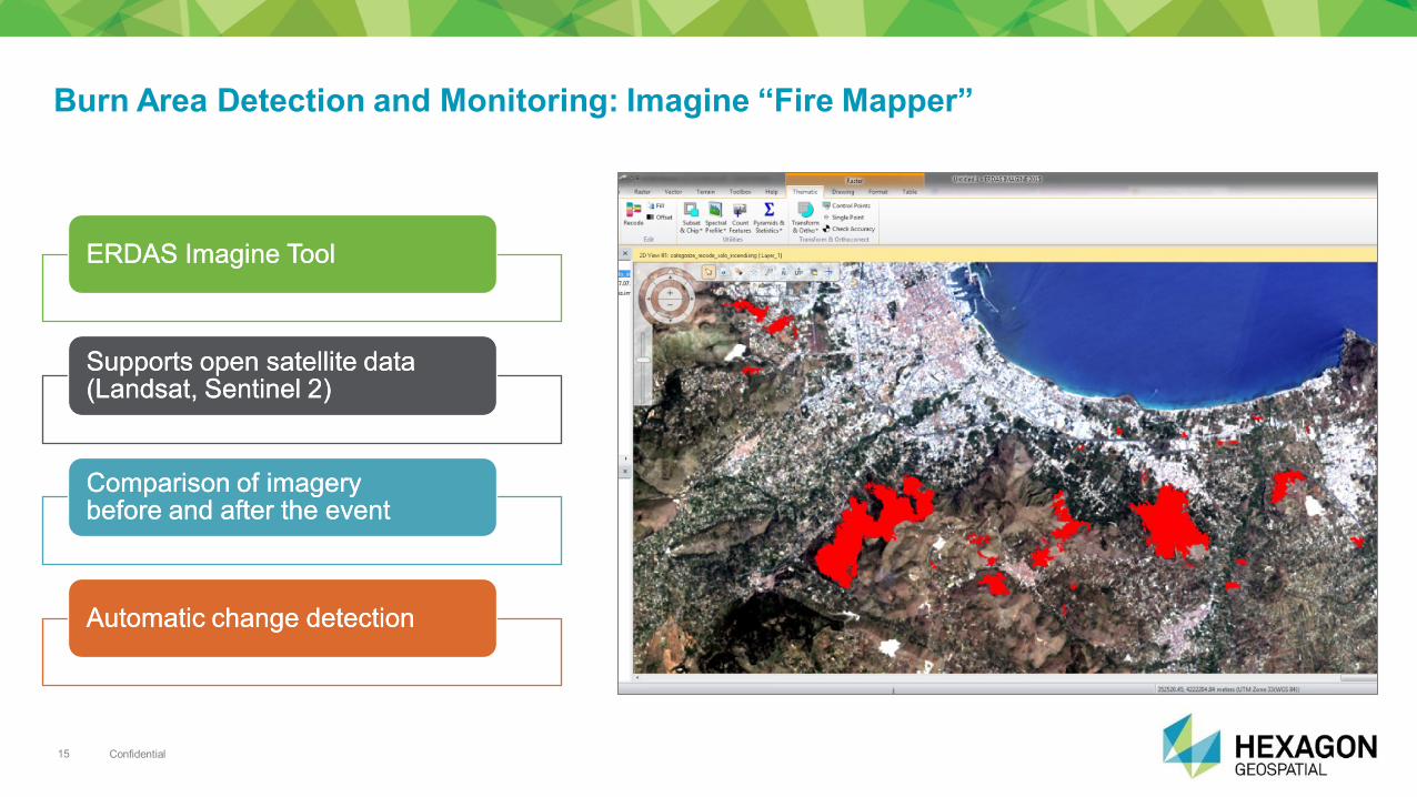
Burn Area Detection and Monitoring: Imagine “Fire Mapper”
ERDAS ERDAS ImagineImagine ToolTool
SupportsSupports open satellite data open satellite data ((LandsatLandsat, , SentinelSentinel 2)2)
ComparisonComparison of of imageryimagery beforebefore and and afterafter the the eventevent
AutomaticAutomatic changechange detectiondetection
Confidential 16
Burn Area Detection and Monitoring: Imagine “Fire Mapper” at work
Confidential 17
From Products to …Monitoring Services
Confidential 18
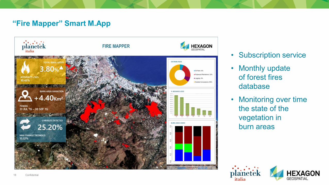
“Fire Mapper” Smart M.App
• Subscription service
• Monthly update
of forest fires
database
• Monitoring over time
the state of the
vegetation in
burn areas
Confidential 19
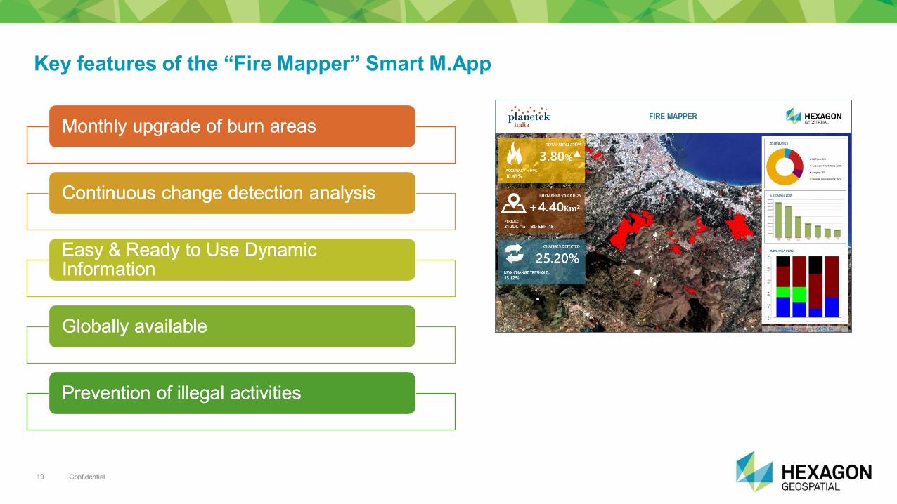
Key features of the “Fire Mapper” Smart M.App
MonthlyMonthly upgrade of upgrade of burnburn areasareas
ContinuousContinuous changechange detectiondetection analysisanalysis
Easy & Ready to Use Easy & Ready to Use DynamicDynamic InformationInformation
GloballyGlobally availableavailable
PreventionPrevention of of illegalillegal activitiesactivities
Design Meets Dynamic
Communication
Satellite Displacement Monitoring
Confidential 21
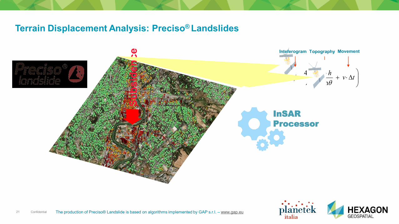
Terrain Displacement Analysis: Preciso® Landslides
Su
bsid
en
ce
tv
r
hB
sin
4
0
Inteferogram Topography Movement
InSAR
Processor
The production of Preciso® Landslide is based on algorithms implemented by GAP s.r.l. – www.gap.eu
Confidential 22
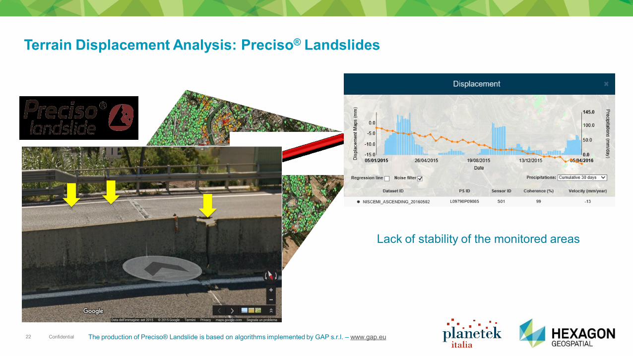
Terrain Displacement Analysis: Preciso® Landslides
Lack of stability of the monitored areas
The production of Preciso® Landslide is based on algorithms implemented by GAP s.r.l. – www.gap.eu

Confidential 23
From Products to Monitoring Services
Confidential 24
Confidential 25
v
Confidential 26
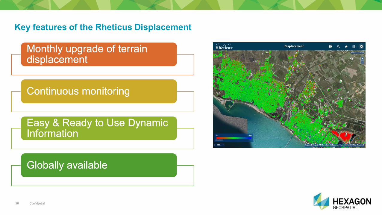
Key features of the Rheticus Displacement
MonthlyMonthly upgrade of upgrade of terrainterrain displacementdisplacement
ContinuousContinuous monitoringmonitoring
Easy & Ready to Use Easy & Ready to Use DynamicDynamic InformationInformation
GloballyGlobally availableavailable
Confidential 27
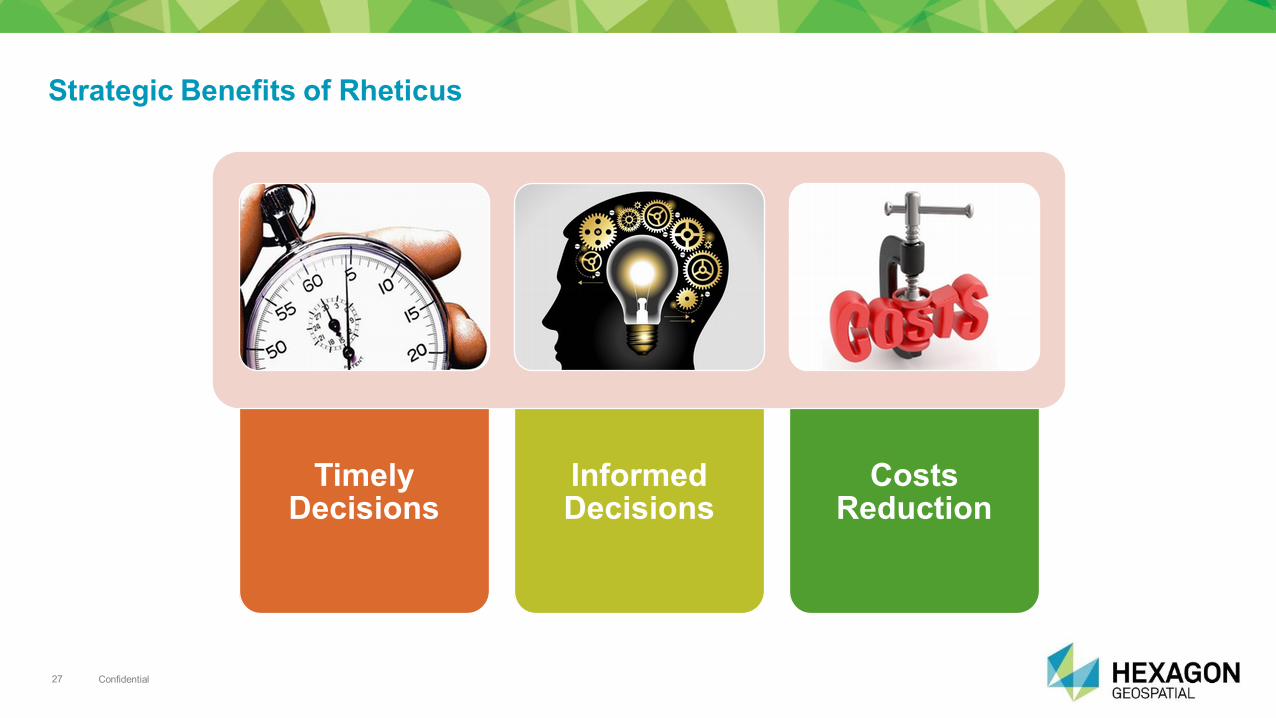
Strategic Benefits of Rheticus
Timely
Decisions
Informed Decisions
Costs
Reduction
Confidential 28
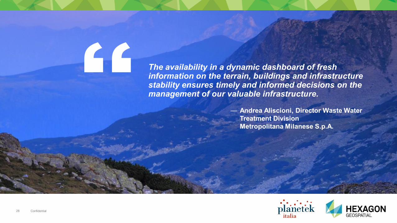
The availability in a dynamic dashboard of fresh information on the terrain, buildings and infrastructure stability ensures timely and informed decisions on the management of our valuable infrastructure.
— Andrea Aliscioni, Director Waste Water
Treatment Division
Metropolitana Milanese S.p.A.

Questions?
Massimo Zotti
@massimozotti
it.linkedin.com/in/massimozotti Workshop: La suite Power Portfolio 2016
Martedì 21 ore 11:00 – Sala 3D


